Molopo rangeland model
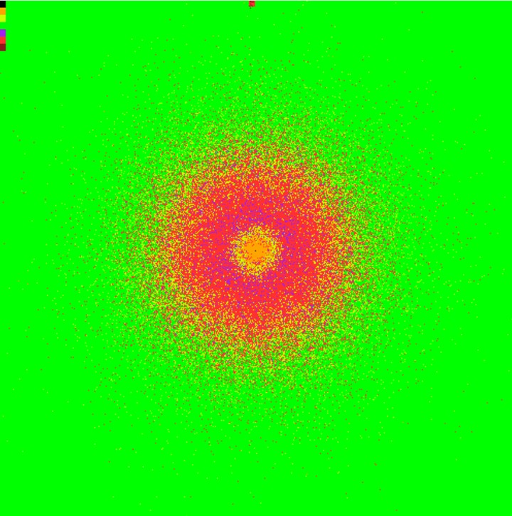 Simulated vegetation pattern due to grazing around a watering point for cattle.
Land degradation and desertification are serious threads to extensively farmed arid and semiarid savanna rangelands. Land degradation processes such as bush encroachment and loss in vegetation cover are strongly influenced by the applied farming practice, but it is very difficult to identify the actual causes and effects in such complex ecosystems. Computer simulation models can be valuable tools to help to better understand the complex processes of rangeland dynamics under different management scenarios. During my diploma thesis we developed a spatially explicit, grid-based based rangeland simulation model which allows simulations on real landscape data. The model is able to resemble vegetation patterns as the formation of a specific sequence of vegetation types along a gradient of different grazing intensity - a so-called piosphere. The model is adaptable for different management (i.e. stocking rate, livestock composition, camp rotation) and climatic scenarios (spatio-temporal precipitation pattern, temperature).
Status: Finished kick-off model for a follow-up project: IDESSA
Cooperations: Klaus Kellner, Theunis Morgenthal, Kerstin Wiegand, Thorsten Wiegand
Sebastian Hanß
PhD student & Scientific programmer
spatial ecology, biodiversity and ecosystem functioning, savanna and dryland ecology, concepts and theoretical ecology and dynamic simulation models.